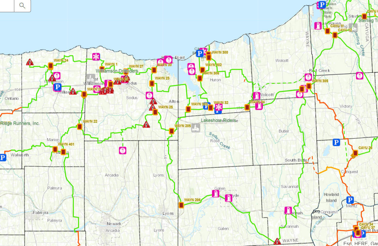
The image below is similar to what the map looks like. This is not the current conditions. Please click the following link below or image of the map to launch. We update the map daily for hazards as well as trail closures and reroutes. You can also see food, gas, parking, and other amenities as well. Optionally, it can be installed as a FREE app to your smart phone for a full interactive GPS of your current location and the entire state trails system.